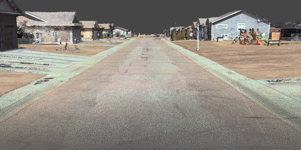
Driven Photogrammetry
We go beyond conventional surveying by developing our own survey equipment, enabling us to offer precise and reliable photogrammetry mapping solutions tailored to the unique needs of our clients.
- Dense colorized point cloud
- Digital elevation model
- Up to 1cm resolution ortho-imagery
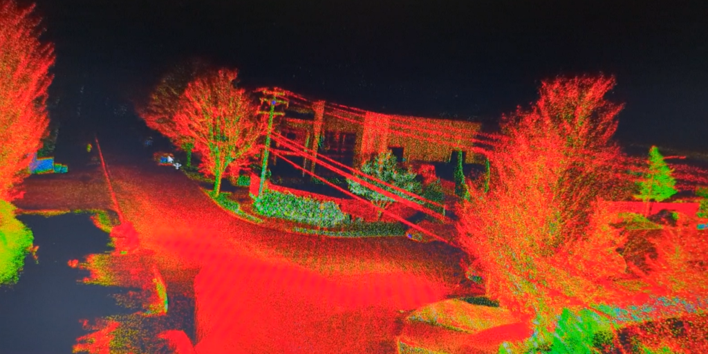
Driven & Handheld LIDAR
Leveraging Light Detection and Ranging (LIDAR) technology, we offer comprehensive mapping services that provide detailed and precise three-dimensional representations of landscapes, buildings, and infrastructure.
- On board processing, yields next day results
- Dense point cloud with range up to 450m
- Telecommunication and power strand visibility
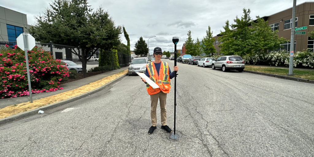
GNSS Stakeout & Manual Pole Audits
Our expertise lies in employing cutting-edge Global Navigation Satellite System (GNSS) technology for conducting real-time kinematic (RTK) and post-processing kinematic (PPK) surveys.
- Accurate epoch based survey
- Difficult to reach areas
- Fast and tested service